

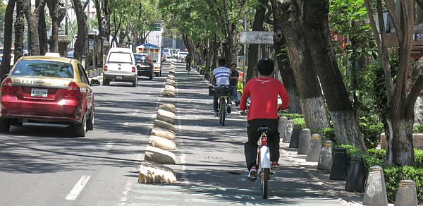
Mexico City - Cyclists taking to the road in Mexico City can now use the Google Maps app to plan their trip and find the most direct way of reaching a destination.
Cycling routes have been added to the application, which already included automobile, public transportation and pedestrian options, Google said.
Eighty people, including volunteers, independent cyclists and bike clubs, like Rodadas MX and Bicitekas, helped develop the maps for Mexico City, Google said in a statement.
The mapping project, which started on February 4, was preceded by a pilot program in Monterrey, the capital of the northern state of Nuevo Leon.
Mexico City government, Mobility Secretariat and Environment Secretariat representatives also participated in the mapping project.
The app includes routes designed just for cyclists where they do not have to share the road with vehicles, as well as routes recommended for cyclists even though they lack an official bike lane or are dirt roads.
Google Maps bike routes can be accessed using either a cell phone or desktop computer.
Original article