

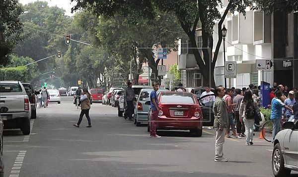
Mexico City's government conducted a test last weekend of the Seismic Warning System, which uses loudspeakers, in an effort to familiarize residents with the sound of alerts. The system's 8,200 loudspeakers, located across the capital's 16 boroughs, emitted the alert at noon on Saturday. The public had been notified of the test to avoid a panic and no practice evacuations were conducted.
Mexico City's government plans to activate the Seismic Warning System on September 19, the 30th anniversary of the temblor that devastated the capital.
A national earthquake simulation will be staged on that date, with 80,000 public employees, 26 government agencies and the Federal Police participating.
The Seismic Warning System gives Mexico City residents a 50-second alert to prevent a repetition of the tragedy that occurred 30 years ago.
The warning is generated by sensors along the Pacific coast, located about 400 kilometers (about 250 miles) from the capital, giving residents time to get out of buildings that could collapse in a temblor.
Mexico, one of the countries with the highest levels of seismic activity in the world, sits on the North American tectonic plate and is surrounded by three other plates in the Pacific: the Rivera microplate, at the mouth of the Gulf of California; the Pacific plate; and the Cocos plate.
The Cocos tectonic plate stretches from Colima state south and has the potential to cause the most damage since it affects Mexico City, which has a population of 20 million and was constructed over what was once Lake Texcoco.
The magnitude-8.1 earthquake that hit Mexico City on September 19, 1985, was the most destructive to ever hit Mexico, killing some 10,000 people, injuring more than 40,000 others and leaving 80,000 people homeless.
BN editor's note: Ironically, a series of earthquakes, including one of magnitude 6.6, struck in waters off the west coast of Mexico early on Sunday, but there were no reports of any damage. The 6.6 magnitude quake, which the U.S. Geological Survey initially reported at a magnitude of 6.8, struck at sea around 106 km (66 miles) southwest of Los Mochis, Sinaloa, at a depth of 10 km. There were three other smaller quakes nearby, ranging in magnitude from 4.9 to 5.3.
Sources: Fox Latino News • Reuters